What a good chase-day app stack actually needs
Storm chasing is software-dependent in a way it wasn't 15 years ago. Your phone or tablet is your radar, your map, your forecast, your communication line, and increasingly your decision aid. A bad app stack means missed initiations, wrong targets, or unsafe positioning. A good stack means you spend your attention on the storm and the road, not the UI.
A complete chase-day stack covers six jobs:
- Radar with velocity, CC, dual-pol products, and SAILS/MRLE
- Forecast — SPC outlooks, mesoscale discussions, watches, warnings
- Mesoanalysis — real-time CAPE, shear, SRH, STP fields
- Mapping & navigation — offline-capable, road network detail
- Reporting / communication — spotter network, Discord, voice
- Decision aid — the synthesis layer that pulls #1–4 together
Radar apps
The serious chasers all use one of three or four dedicated radar apps. The key features to demand:
- Level III data (1 km resolution) at minimum
- Velocity, storm-relative velocity, correlation coefficient (CC)
- SAILS / MRLE sub-volume scanning so you get 0.5° sweeps more often
- TVS / TDS algorithm flags
- Smooth panning at high zoom without re-downloading tiles
- Warning polygon overlay
Web-based radar viewers from research universities (e.g., GR2Analyst-like products) are gold-standard but desktop. On mobile, the leading paid options give you most of the same fidelity.
Forecasting / outlook apps
The SPC website is canonical but punishing on mobile. A good forecast app should pull:
- The current Day 1, 2, 3 outlooks with hatching layers
- Active Mesoscale Discussions
- Current watches and warnings
- The text discussions under each outlook
You want this on your phone within two taps, while driving.
Mesoanalysis access
The SPC Mesoanalysis page is the meat-and-potatoes of in-day forecasting — CAPE, shear, SRH, STP all overlaid on the map. The desktop interface is famously clunky on mobile. Apps that wrap or mirror it cleanly are a major time-saver.
Mapping and navigation
Offline mapping is non-negotiable in the plains. Cell coverage falls off fast in western Kansas, the Texas Panhandle, eastern Colorado, and parts of South Dakota. Your map app should:
- Cache detailed road network for your chase region in advance
- Show county lines (matter for warnings)
- Support offline turn-by-turn
- Let you drop and label waypoints quickly
Reporting and communication
Spotter networks like SpotterNetwork are how chasers share live positions and reports. A trusted reporting layer matters because:
- You can see where other chasers are
- You can quickly report a tornado to NWS
- You can monitor real-time ground truth from other observers
The decision-aid layer — where Meso fits
The newest category in the chase stack is the decision aid — software that synthesizes the radar, the forecast, the mesoanalysis, and your position into actual answers. This is what Meso is built to be.
Meso doesn't try to replace your radar app or your mapping app. It sits on top of them and answers the eight core questions chasers ask every chase day:
- Where should I go today?
- When do I need to leave?
- Which storm should I be on?
- Is this storm going to produce?
- Where is the storm going?
- What is my escape route?
- Should I bail right now?
- Did anything important just change?
The decision aid layer is what closes the gap between having data and using it well under pressure. Most chasers run an app from each of categories 1–5 plus a decision aid that ties them together.
Practical app-stack tips
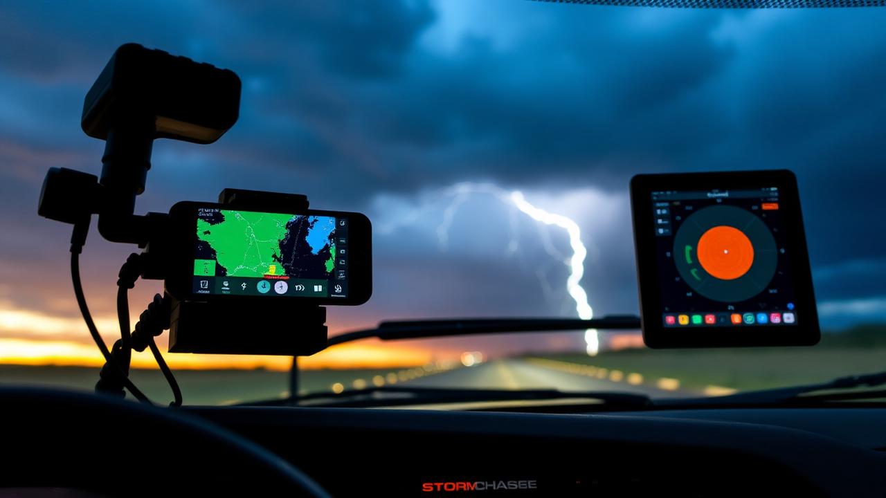
- Keep two devices charged. Phone for chase intel, tablet for radar.
- Mount your tablet somewhere readable but out of airbag deployment paths.
- Pre-download maps and forecast data for your region before you leave cell.
- Test your stack on a non-chase day. Don't debug your app at 75 mph under a wall cloud.
- Have a paper atlas backup. Cell goes down. Tablets crash. Roads do not.
Sources
How Meso is built for the field
Meso is built for the EOC / aviation-style operating model: high contrast, large hit targets, voice-friendly summaries, fast to scan with one hand. The app is meant to be the decision aid in your stack — not the radar, not the mapper, but the layer that turns those raw inputs into a clear answer to one of the eight core questions every chase day demands.