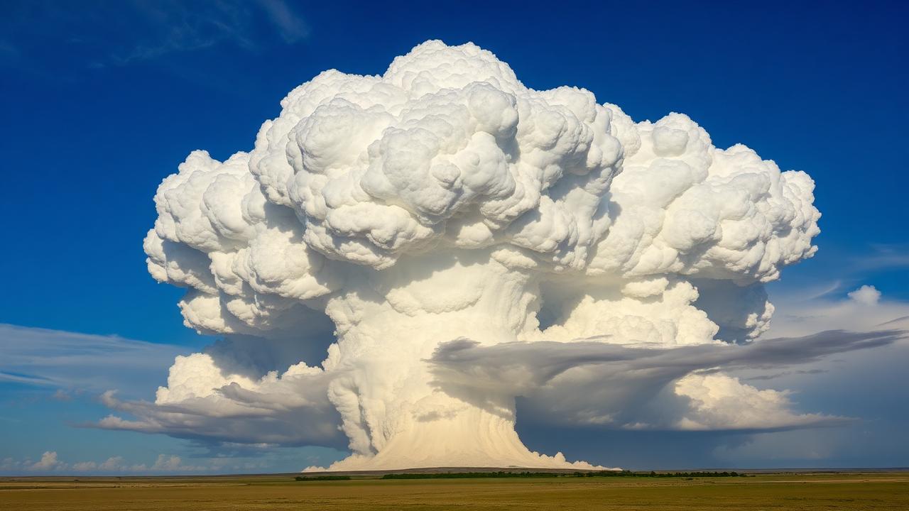
What CAPE actually measures
CAPE stands for Convective Available Potential Energy, measured in joules per kilogram (J/kg). The textbook definition is the vertically-integrated buoyancy a parcel of air would experience if lifted from a starting level to its equilibrium level. The practical definition is simpler: CAPE is the fuel in the atmosphere's tank.
If you imagine a thunderstorm updraft as an engine, CAPE is the gasoline. Lift is the starter. Shear is the transmission that turns raw power into something organized and useful. A storm needs all three.
Where CAPE comes from
A column of air becomes unstable when warm, moist air sits underneath cooler, drier air aloft. Heat the surface, add moisture from the Gulf, cool the mid-levels with an upper-level trough, and CAPE builds.
Real-world CAPE builds through:
- Surface heating through the morning and into the afternoon
- Moisture return from the Gulf of Mexico northward
- Mid-level cooling from an approaching shortwave or upper trough
- Mixing that destroys low-level inversions
CAPE is destroyed by:
- Cloud cover that suppresses surface heating
- Morning convection that "uses up" the airmass
- Dryline mixing that lowers surface dewpoints
- Overnight cooling that stabilizes the boundary layer
This is why CAPE on a real chase day is a moving target. Morning HRRR runs might show 3500 J/kg by 21Z; if you get four hours of cloud cover, you might end the day with 1500.
Rough buckets to memorize
| CAPE (J/kg) | What it tells you |
|---|---|
| 0–500 | Weak instability; marginal at best |
| 500–1500 | Modest; supports organized storms if shear is right |
| 1500–2500 | Healthy; classic plains chase territory |
| 2500–4000 | Strong; explosive updrafts likely |
| 4000+ | Extreme; often "loaded gun" setups |
These are rules of thumb, not laws. A 700 J/kg cold-season Gulf Coast setup with 70 kt of effective shear can produce nasty tornadoes. A 5000 J/kg high-plains day with no shear gives you ugly pulse storms.
The three CAPE flavors you'll see
SPC mesoanalysis and the HRRR show several CAPE products, and they mean different things:
- SBCAPE (Surface-Based CAPE) — assumes a parcel starting at the surface. The most relevant value for surface-based supercells and tornadoes.
- MUCAPE (Most-Unstable CAPE) — finds the most unstable parcel in the lowest 300 mb. Useful for elevated convection — large hail but few surface tornadoes.
- MLCAPE (Mixed-Layer CAPE) — averages a parcel from the lowest 100 mb. Often the most realistic representation of what an updraft will actually entrain.
For chasing tornadoes, SBCAPE and MLCAPE are the values that matter. MUCAPE without SBCAPE often means elevated supercells — great hail-and-lightning shows, but the tornado threat is much lower.
CAPE without shear is a trap
A 5000 J/kg airmass with 15 kt of deep-layer shear gives you a sky full of pulse storms and outflow-dominant clusters. A 1500 J/kg airmass with 60 kt of effective shear gives you classic, photogenic supercells.
The product of instability and shear matters more than either alone — which is why composite parameters like STP (Significant Tornado Parameter) and SCP (Supercell Composite Parameter) exist. CAPE is a necessary ingredient, not a sufficient one.
How chasers actually read CAPE in the field
- Watch the SPC mesoanalysis SBCAPE field through the afternoon, every hour.
- Look for the CAPE gradient — storms tend to fire where instability is increasing fastest, often near the dryline or warm front.
- Compare surface obs (METARs) with the modeled CAPE — if surface dewpoints are 5°F below model guidance, your CAPE is probably overdone.
- Note whether MUCAPE > SBCAPE significantly — elevated convection means hail focus, not tornadoes.
Common mistakes
- Treating CAPE as a single number. "It's a 3500 CAPE day" is meaningless without shear and storm mode.
- Trusting model CAPE blindly. Models often overdo CAPE by 20–40% on dryline days because they handle mixing poorly.
- Ignoring the vertical distribution. "Skinny CAPE" (lots of CAPE stretched over a deep layer) behaves very differently from "fat CAPE" (concentrated in the lower troposphere — much better for tornadoes).
How Meso uses CAPE
When Meso evaluates a target or a storm, CAPE is one of several ingredients it weights — but never in isolation. The system reads CAPE alongside effective shear, 0–1 km storm-relative helicity, low-level moisture, and forcing to answer "Is this storm going to produce?" — one of the eight core chaser questions. You see the raw number, but you also see how it stacks against the other ingredients, so a 4500 J/kg cap-bust day doesn't read the same as a 1800 J/kg textbook dryline day.
CAPE is the fuel. Meso shows you whether the engine is built to use it.