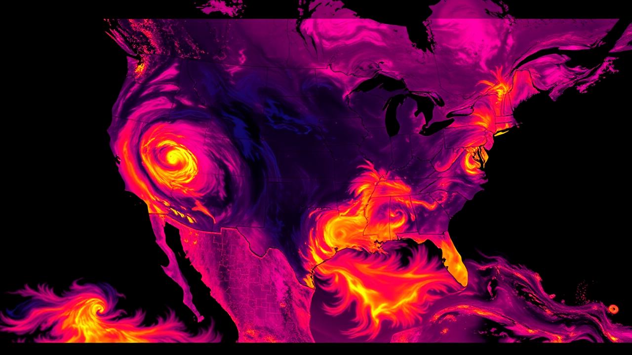
What the HRRR is and why chasers obsess over it
The HRRR — High-Resolution Rapid Refresh — is a 3 km resolution, hourly-updated numerical weather model run by NOAA. It is the highest-resolution operational forecast model that covers the entire contiguous United States, and it has become the dominant short-fuse forecast tool for storm chasers, severe weather meteorologists, aviation, and emergency management.
The HRRR is the model that takes the morning question "where will storms initiate today?" and gives you a specific, mapped answer — typically with simulated radar, simulated soundings, and a full forecast atmosphere.
Why 3 km resolution matters
Older operational models like the GFS and NAM run at 12–25 km horizontal resolution. At that resolution, the model can't actually resolve individual thunderstorms — it has to parameterize them, which is essentially a fancy way of saying "assume them statistically." That's why pre-HRRR forecasting was so heavy on parameters like CAPE and shear, and so light on "will a storm be at this exact location."
At 3 km, the HRRR explicitly resolves convection. It can model individual supercells. Its simulated radar output looks like a real radar image, and you can identify discrete cells, lines, and even storm-splits hours before they happen. That's a transformative capability for chasing.
What "hourly-updated" really means
Most operational models run every six hours. The HRRR runs every hour, on the hour. That gives you 24 forecast initializations per day. By the time you've finished thinking about the 15Z run, the 16Z is almost ready.
Each HRRR run forecasts out 18 hours (with select cycles out to 48 hours). That's a perfect horizon for chase-day decisions, which usually involve "where will storms be at 23Z today?"
What the HRRR is good at
- Convection initiation timing within ±1–2 hours
- Storm mode — discrete vs. linear vs. cluster
- General storm placement on a county scale
- Sounding evolution at any forecast hour and location
- Simulated radar — a remarkable visualization of forecast convection
What the HRRR is genuinely bad at
- Pinpointing individual cells. A "storm" on simulated radar at 23Z may verify 30 miles displaced.
- Tornado prediction. The model doesn't resolve tornadoes — it resolves the storm-scale environment.
- Capping. The HRRR often underestimates cap strength on dryline days.
- Storm intensity. Simulated reflectivity is qualitatively useful but quantitatively unreliable.
- Run-to-run consistency. Consecutive runs can shift initiation 50 miles or two hours.
How chasers read the HRRR
The standard workflow:
- Open the 12Z run in the morning. Note initiation time, location, and mode.
- At each subsequent run (13Z, 14Z, 15Z…), check whether the model is consistent with the previous run or shifting.
- Compare the model to observed surface obs. If real dewpoints are 5°F below modeled, expect storms displaced.
- Use the simulated soundings to evaluate the forecast environment at your target.
- Don't bet the chase on a single run. Trends across runs are more meaningful than any one snapshot.
The "Hi-Res Window" and ensembles
HRRR isn't the only short-fuse model. Forecasters often cross-reference with:
- HRRR ensemble (HRRRE) — perturbed members showing uncertainty
- NAM 3km Nest — different physics, useful as a sanity check
- RAP — 13 km, the HRRR's parent model
- WoFS (Warn-on-Forecast) — research/experimental, sub-hourly updates
When the HRRR and the NAM 3km agree on initiation location, confidence is much higher.
Common HRRR mistakes
- Chasing the model, not the atmosphere. The HRRR is an aid, not a prophet.
- Trusting one run. Always look at the last 2–3 cycles for trend.
- Reading only simulated reflectivity. The forecast soundings often contain more useful nuance.
- Treating placement as exact. ±30 miles is normal HRRR placement error.
- Ignoring capping. HRRR convective initiation tends to be too aggressive on cap-borderline days.
The honest take
The HRRR has made short-range forecasting dramatically better than it was 15 years ago. It is genuinely one of the most useful tools in the modern chaser's stack. But it is still a model, and models are wrong. The HRRR is best used as a narrowing tool — you start with the SPC outlook covering five states, the HRRR helps you narrow to two counties, and observed surface obs and visible satellite tell you which county to lock.
Sources
- NOAA HRRR – model documentation
- Pivotal Weather – HRRR viewer
- College of DuPage – HRRR archive and visualization
How Meso uses HRRR guidance
Meso pulls the latest HRRR cycle for your chase region and uses it as one of several ingredients behind "Where should I go today?" and "When do I need to leave?" — two of the eight core chaser questions. The app shows you HRRR-forecast initiation timing, simulated radar evolution, and key environmental parameters at your target location. When successive HRRR cycles disagree meaningfully — say, initiation timing shifts by two hours or the placement moves 50 miles — Meso surfaces the trend instead of just showing the latest snapshot, because in HRRR forecasting the change across runs is often more informative than any single run alone.
The HRRR will always be a model. Meso just helps you read it the way the most experienced chasers do — as a tool for narrowing, not as a prophecy.