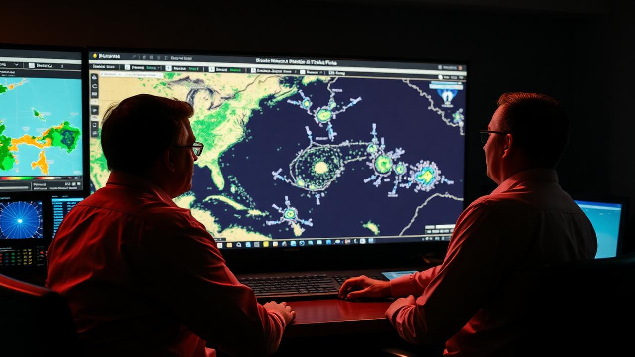
MDs — the forecaster's near-term voice
A Mesoscale Discussion (MD) is a short-form, near-term forecast product issued by SPC when forecasters see a specific severe weather threat sharpening in the next 1–3 hours. While the Day 1 outlook is broad and the watch is formal, the MD is the bridge — it's where forecasters talk through the actual meteorology in real time before any formal product is issued.
For chasers, MDs are arguably the single most-used SPC product on a chase day. They are issued frequently, they zoom into specific threats, and they include the kind of forecaster reasoning that helps you understand why the day is doing what it's doing.
What goes into an MD
Every MD includes the same structural elements:
- A polygon — a few hundred miles wide, drawn over the area of concern
- A product type — severe thunderstorm, tornado, winter weather, fire weather, or heavy rain
- A concise discussion of the meteorological reasoning
- A watch probability statement
- A list of threats with confidence levels
- A valid-until time
The discussion text is short — usually one or two paragraphs — but it's where the real value lives. It's the forecaster explaining what they're seeing on observed data (satellite, mesoanalysis, radar trends) and projecting it forward.
How forecasters write an MD
Behind the scenes, an MD is a fast-paced operational product. Forecasters typically write one when:
- Mesoanalysis parameters sharpen in a specific area
- Visible satellite shows agitated cumulus and a developing cumulus field
- Radar shows convection initiating or about to initiate
- A boundary is moving or strengthening unexpectedly
- A watch is being considered
The forecaster pulls together the latest mesoanalysis fields, RAP analysis, observed satellite, and any short-fuse model guidance (especially the HRRR), and writes a discussion explaining their interpretation. The MD is reviewed and posted in real time — sometimes within 10 minutes of when the meteorologist starts typing.
Why MDs precede watches
The MD is essentially the public-facing draft of the case for a watch. SPC uses it to:
- Telegraph that something is sharpening
- Give downstream WFOs and EMS a heads-up
- Provide chasers and the public time to position
- Document the forecaster's reasoning in case storms don't develop
When the MD says "watch likely," the formal watch is usually issued within 30–60 minutes. When the MD says "watch possible," the issuance may or may not happen depending on how the next hour evolves.
Product types — not just severe
While most MDs are severe-weather products, you'll also see:
- Heavy rain MDs — for flash flood threat
- Winter weather MDs — for blizzard, ice, or heavy snow
- Fire weather MDs — for critical fire conditions
Chasers focus on severe-weather MDs, but the same forecaster process produces all of them.
How chasers actually read MDs
When an MD drops, you have about two minutes before the situation moves. Read in this order:
- Polygon — is your target inside it?
- Threat line — tornado, wind, hail probabilities
- Watch probability — likely or possible
- Discussion — mode (discrete vs. linear), timing, key boundaries
- Valid-until time — when does the window close?
If the polygon covers your area, watch probability is "likely," and the discussion mentions discrete supercells, you have your operational green light.
The cadence on a chase day
On a moderately active severe day, you might see:
- 1–3 MDs through the morning and early afternoon as forecasters track the developing setup
- 1–2 MDs immediately before initiation as the threat sharpens
- 1–2 MDs through the evening as storms organize, weaken, or transition to QLCS mode
Watching the cadence of MDs is itself a forecasting tool — when SPC starts dropping MDs every 30 minutes, the day is sharpening fast.
Limitations of MDs
- They are short-term only — usually 1–3 hours out
- They can be wrong — forecasters are operating in real time with incomplete information
- They are not warnings — they don't trigger sirens or WEAs
- They are not legally binding in the way a watch or warning is
Treat MDs as forecaster intel, not formal alerts.
Sources
How Meso uses MDs
Meso ingests active SPC MDs as they're issued, parses the polygon, threat line, watch probability, and discussion, and overlays everything on your chase map. When an MD intersects your active chase area, Meso surfaces it immediately under "Did anything important just change?" — one of the eight core chaser questions — and pre-summarizes the key fields so you can read it in two seconds rather than scrolling SPC's text product on flaky LTE. The MD itself is always linked so you can read the full forecaster discussion when you have a moment.
MDs are where the real-time forecast reasoning lives. Meso makes sure that reasoning reaches you the moment it's published, in the form you can act on while you're driving.