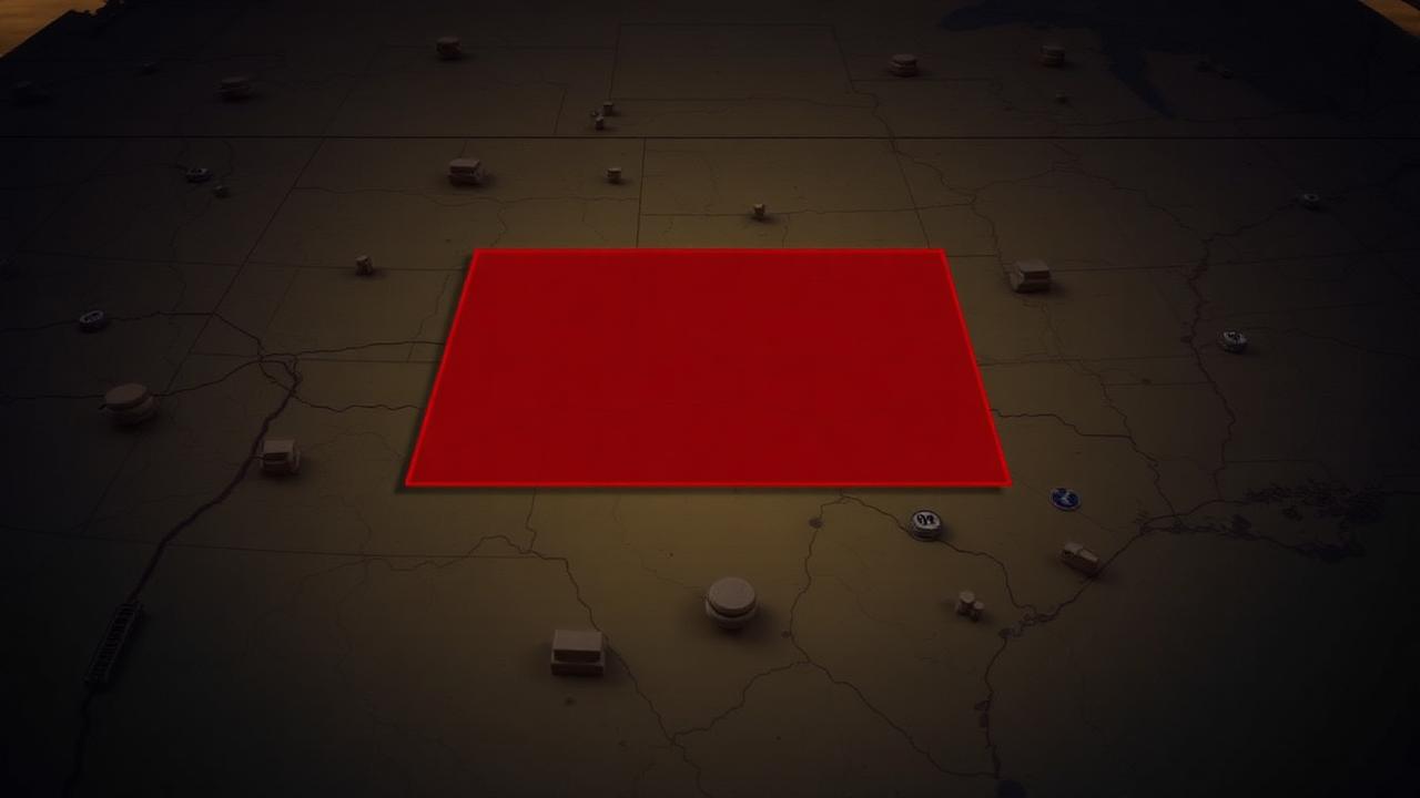
Where tornado watches come from
A Tornado Watch is issued by the Storm Prediction Center in Norman, Oklahoma — not by your local NWS office. SPC is the national-scale severe convective forecasting authority, and the watch is one of its highest-profile products.
A watch is the formal statement that, in SPC's judgment, environmental conditions are favorable for tornado development over a broad area in the next several hours. It's a planning product, not a hide-now product. (That's the warning, which comes from your local Weather Forecast Office.)
The lifecycle from MD to watch
Tornado watches almost always follow a predictable sequence:
- Day 1 Outlook identifies an area of severe weather risk hours to a day out.
- Mesoscale Discussion (MD) is issued 1–3 hours before initiation when forecasters see a specific threat sharpening. The MD includes a watch probability — "likely" or "possible."
- Coordination call between SPC and the affected local WFOs to confirm the watch.
- Watch issuance with a polygon, validity time, and a parameter table.
By the time a watch hits your phone, the SPC forecasters have already coordinated with the local WFOs and agreed that the threat warrants the public-facing product.
What's inside a watch product
Every watch contains:
- A polygon — usually covering 25,000+ square miles, drawn over the projected initiation and storm-mode area
- A valid period — typically 4–8 hours
- A parameter table — max hail, max wind, tornado threat, PDS designation
- A list of counties affected
- A discussion explaining the meteorology
The parameter table is often more informative than the polygon. A watch with "Tornadoes: Likely, A Few Intense" and "Hail to 4 inches, Wind Gusts to 80 mph" tells you immediately that this is a high-end day.
PDS Tornado Watches
When the threat is exceptional, SPC upgrades a watch to Particularly Dangerous Situation (PDS) Tornado Watch. PDS watches are reserved for setups where:
- Strong, long-track (EF2+) tornadoes are likely
- Or extreme hail / wind is expected over a broad area
PDS watches are rare — usually fewer than a dozen per year in the entire country. When one is issued, it changes the operational posture of EMS, school districts, and chasers across the polygon.
"Watch likelihood" inside the MD
Before the watch is issued, the MD tells you the probability the watch is coming. The language is standardized:
- "Watch likely" — high confidence; the watch is essentially already on the way
- "Watch possible" — moderate confidence; depends on whether storms organize as expected
- "Watch unlikely" — low confidence; the MD is more of a heads-up than a precursor
If you see "watch likely" in an MD over your target, start positioning. Don't wait for the formal watch.
Why watches sometimes don't get issued
Severe weather happens occasionally without a watch ever being issued. Common reasons:
- Sub-marginal environment. Pulse storms in a marginal airmass can produce brief tornadoes that watches don't bracket.
- Cold-season setups. Low-CAPE/high-shear environments along the Gulf Coast can spin up tornadoes quickly without the long lead time a watch needs.
- Timing surprise. Storms developing earlier or later than forecast can produce warnings before SPC has time to issue a watch.
The absence of a watch is never the absence of risk.
How chasers use watches
For chasers, the watch isn't the action signal — the MD already was. By the time the watch hits your phone, you should already be positioning. The watch does three useful things:
- Confirms SPC's confidence — your target is still in play
- Sets the operational tempo — watches typically last several hours; expect activity to continue
- Reads as a signal to civilians and EMS — meaning roads, traffic, and EMS load will change
For non-chasers, the watch is the planning signal — review shelter plans, charge phones, monitor weather radio.
Sources
How Meso reads watches
Meso pulls active SPC watches in real time and overlays them on your chase map, with the parameter table available in one tap. When a new tornado watch is issued that intersects your active chase area, Meso surfaces it under "Did anything important just change?" and pre-summarizes the key fields (PDS status, max tornado threat, max hail size, validity period) so you can read it in one glance instead of opening a browser. The official SPC product is always the source — Meso just makes sure it reaches you the moment it's issued, while you're still in position to act on it.