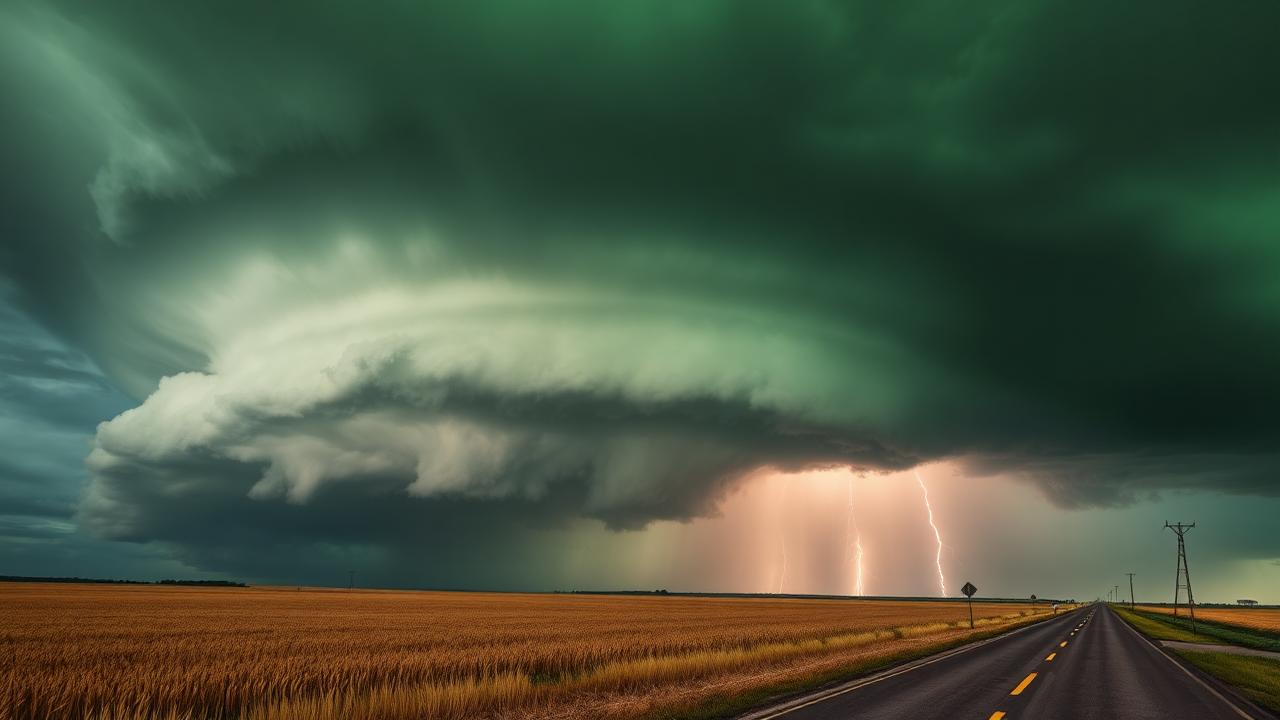
The single most-confused pair of words in severe weather
Every severe season, news outlets, social media, and even some otherwise-knowledgeable people use watch and warning interchangeably. They are completely different products, issued by different offices, on different timescales, and they require very different responses.
If you remember nothing else: a watch means be ready. A warning means act now.
Tornado Watch
A Tornado Watch is issued by the Storm Prediction Center in Norman, Oklahoma, for a large area — typically 25,000 square miles or more — when environmental conditions are favorable for tornado development in the next several hours.
Characteristics:
- Issued proactively, often 2–6 hours before storms even form
- Covers many counties — sometimes parts of two or three states
- Usually valid for 4–8 hours
- Includes a "watch box" with explicit parameters: max hail, max wind, tornado threat, PDS or not
A Tornado Watch tells the public, EMS, and chasers: "Storms capable of tornadoes are likely later today. Have a plan." It is not a panic event. It is a planning event.
Tornado Warning
A Tornado Warning is issued by a local NWS Weather Forecast Office — your county's WFO — for a small polygon when a tornado is occurring or imminent. The justification for a warning is one of:
- A trained spotter, law enforcement, or chaser confirms a tornado
- The radar shows a rotational signature (velocity couplet, debris ball) consistent with a tornado
- A tornado debris signature (TDS) appears on dual-pol radar
Characteristics:
- Issued reactively, when the threat is now
- Covers a polygon usually a few counties wide
- Usually valid for 30–45 minutes
- Triggers the Wireless Emergency Alert system on your phone
- Triggers outdoor sirens in most communities
A Tornado Warning means: "Get to shelter immediately."
Visualizing the lifecycle
Think of severe weather products as a funnel from wide-and-soft to narrow-and-hard:
- Day 1 Outlook — country-wide, hours to a day out
- Mesoscale Discussion — region-sized, 1–3 hours out
- Watch — multi-state, hours-long
- Warning — county polygon, minutes-long
- Tornado Emergency — small polygon, life-threatening
Each step narrows the geography and shortens the time horizon while raising the urgency.
PDS Watch — particularly dangerous situation
The SPC sometimes upgrades a watch to a Particularly Dangerous Situation (PDS) Tornado Watch. This label is rare and meaningful. It's reserved for setups where:
- Strong, long-track (EF2+) tornadoes are likely
- Or extreme wind/hail is expected over a broad area
When you see a PDS Tornado Watch, the day is not normal. Treat it as a major operational event whether you're a chaser, EMS, or a resident.
Tornado Emergency
A Tornado Emergency is the single most serious warning the NWS issues. It is used only when:
- A confirmed, large, destructive tornado is on the ground
- It is moving into a populated area
If a Tornado Emergency is issued for your area and you are not a trained chaser already in safe position, shelter immediately in the interior of the lowest floor of a sturdy building. Mobile homes and vehicles are not safe.
Why warnings sometimes come without a watch
You'll occasionally see a tornado warning issued in an area not under a watch. Two main reasons:
- Pulse environments. A marginal airmass can still spin up brief tornadoes that radar catches.
- Cold-season setups. Low-CAPE / high-shear environments along the Gulf Coast in winter often produce sudden-onset tornadoes that the watch product struggles to bracket.
The absence of a watch never means absence of risk.
How chasers use them differently than the public
For a chaser, both products mean positioning, not panic:
- A watch means "your target was right, start tightening the play."
- A warning on a storm you are not on means "evaluate whether to reposition."
- A warning on your storm means "go to operations mode — visual confirmation, video, escape route check, possible report to NWS."
For the public, the two products mean very different things, and that distinction saves lives every season.
Where Meso fits
Meso surfaces every watch and warning on your radar map and in the briefing feed in real time. When a tornado warning is issued inside your active chase area, Meso treats it as a hard alert under "Did anything important just change?" and re-evaluates your bail options under "Should I bail right now?" — two of the eight core chaser questions the app is built around.
Meso is not the source of warnings — the NWS is — but it makes sure the warning reaches you the second it's issued, with the polygon already drawn on the same map you're using to navigate.