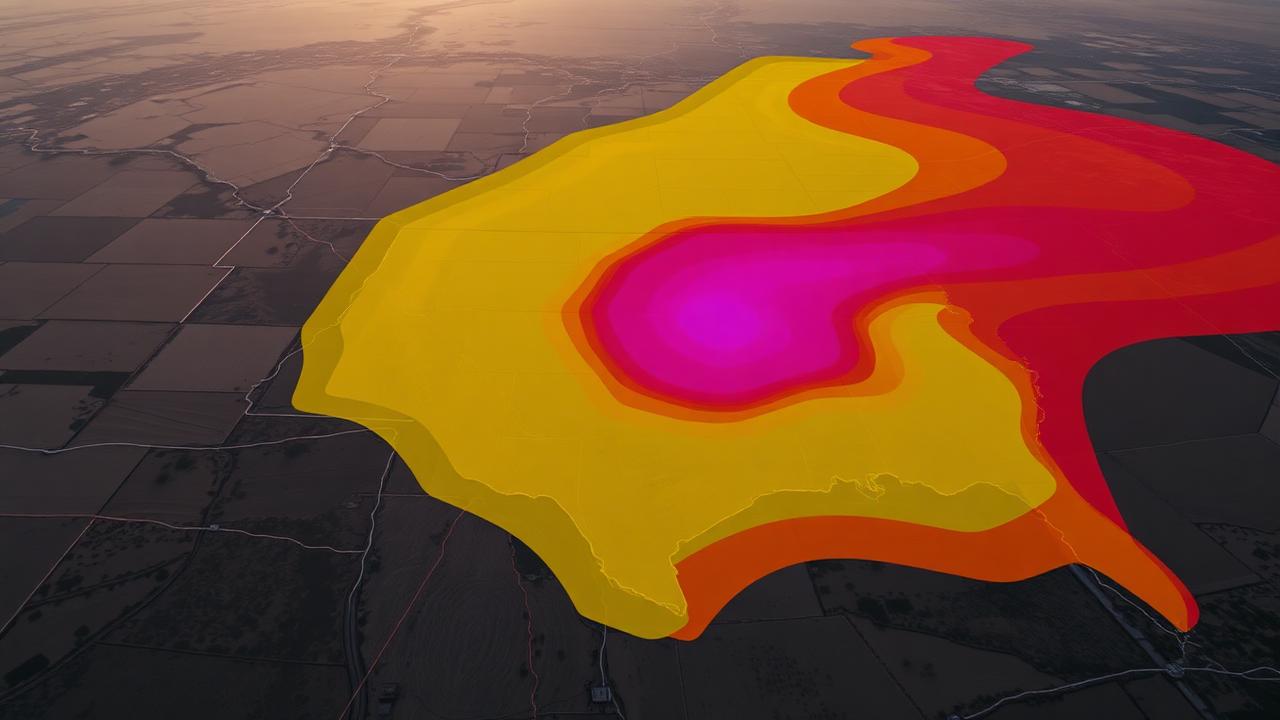
Why the SPC outlook matters
The Storm Prediction Center's Day 1 Convective Outlook is the single most influential forecast graphic in American storm chasing. It sets the tone for the day — which states get attention, which targets get crowded, which markets pre-position EMS. Reading it correctly is foundational. Reading it poorly — or only looking at the color blob — is one of the most common rookie mistakes in the chase community.
This guide walks you through every layer of a Day 1 outlook, what each one is actually telling you, and how to translate it into a target decision.
The five categorical risks
| Category | Abbrev. | Meaning |
|---|---|---|
| Marginal | MRGL | Isolated severe possible; brief or low-end |
| Slight | SLGT | Scattered severe expected |
| Enhanced | ENH | Numerous severe; organized threat |
| Moderate | MDT | Widespread severe; significant tornadoes possible |
| High | HIGH | Outbreak-level, particularly dangerous |
The word Slight is famously misleading to non-chasers. A Slight Risk does not mean a low-impact day. Many violent, photogenic tornado events have happened under Slight Risks — including parts of the May 24, 2011 outbreak in Oklahoma. Categorical risk is a coverage scale, not a confidence scale.
The probabilistic graphics — where the real intel lives
Below the categorical map, SPC publishes three probability maps:
- Tornado % — probability of a tornado within 25 miles of any point in the area
- Wind % — probability of a severe wind report (≥58 mph) within 25 mi
- Hail % — probability of severe hail (≥1") within 25 mi
These numbers are not gut-feel. They are calibrated against decades of verification. A 10% tornado probability is meaningful. A 15% means take your gear seriously. A 30% is a major event.
Hatching: the most important symbol on the map
A hatched area on the tornado map means significant tornadoes (EF2 or stronger) are possible within 25 miles of any point inside it. On the wind map, hatching means significant wind (≥75 mph). On the hail map, it means significant hail (≥2").
If you are chasing for photogenic, long-track tornadoes, the hatched 10% tornado area is the bullseye. Almost every outbreak day in recent memory has had the violent tornadoes occur inside a hatched zone.
The text discussion — never skip it
The graphics summarize. The discussion explains. Inside every Day 1 outlook is a multi-paragraph text product where SPC forecasters explain their reasoning:
- Where they think initiation will happen and when
- What the storm mode will look like (discrete vs. linear vs. hybrid)
- What forcing mechanism they're keying on (dryline, warm front, shortwave)
- What could go wrong (capping, moisture return, timing of the cold pool)
- What ingredient they're least confident in
Skilled chasers read the discussion first, then look at the map. The map alone hides a lot of nuance — for example, two days with the same Enhanced Risk can look completely different depending on whether SPC is worried about cap concerns or excited about clean dryline initiation.
Update schedule
Day 1 outlooks are issued and updated on a fixed schedule:
- 0600 UTC — overnight first look
- 1300 UTC — morning, after 12Z model data lands
- 1630 UTC — mid-day update; often the one chasers lock targets on
- 2000 UTC — afternoon refinement
- 0100 UTC — overnight evolution
Outside those times, the underlying threat hasn't necessarily changed — but the forecasters' confidence may shift between updates. A 1630 UTC upgrade from Slight to Enhanced is a meaningful event.
How to actually use it for target selection
Here is the workflow most experienced chasers use:
- Open the tornado probability map first. Look for hatching.
- Cross-reference with the surface analysis to find the dryline, warm front, or triple point.
- Read the text discussion for timing and mode.
- Identify a target city inside or just east of the highest hatched area.
- Cross-check with the latest HRRR run to see if the model is firing storms in the same place SPC is keying on.
- Build in a bail route before you ever leave the driveway.
What categories actually look like in the field
- Marginal — usually pulse storms, brief microbursts, marginal hail. Skippable unless local.
- Slight — the bread-and-butter chase day. Real supercells happen here.
- Enhanced — typically the highest-payoff days. Discrete cells, photogenic tornadoes, manageable risk.
- Moderate — fast-moving, dangerous, often messy. Reward is high but so is risk of multi-tornado cycling.
- High — outbreak-level. Treat traffic, debris, and EMS load as serious operational constraints. Many chasers stop chasing offensively on High days and switch to documentation from a safer distance.
Common misreads
- "Slight" means safe. It doesn't. Significant tornadoes have happened on Slight days for as long as records exist.
- Reading only the categorical. The probabilities and the discussion are where SPC actually communicates nuance.
- Ignoring the hatching. No hatching means a lower ceiling on tornado strength expected.
- Trusting one outlook update. Days evolve. The 1630 UTC update often changes a target.
How Meso connects to this
Meso ingests every SPC Day 1 update automatically and translates the categorical risk, hatching, and tornado probability into a verified top target — the answer to one of the eight core chaser questions Meso is built around: "Where should I go today?" When the outlook changes between updates, Meso flags the shift under "Did anything important just change?" so you see the upgrade or downgrade the moment it lands, not the next time you refresh spc.noaa.gov on flaky LTE.
The outlook will always come from SPC. Meso just makes sure you read it correctly and act on it in time.