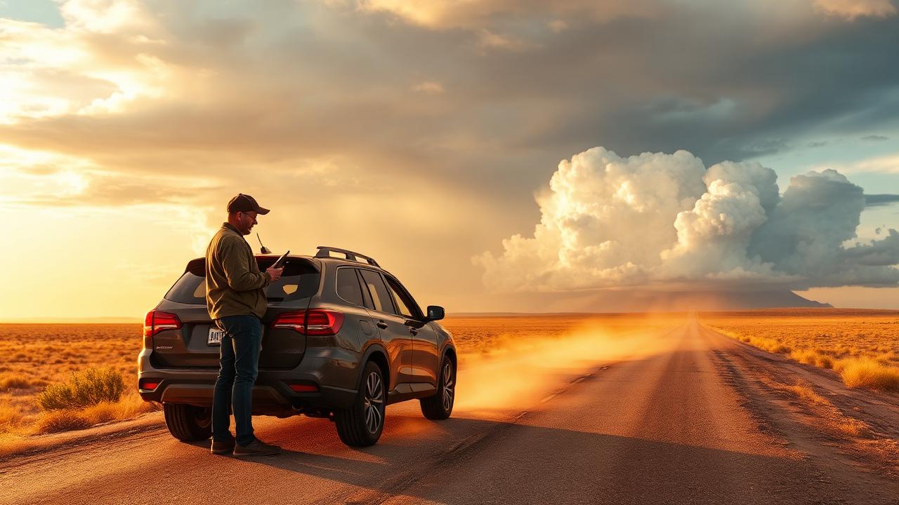
Target selection is the chase
Of every skill in storm chasing — driving, photography, radar interpretation, in-field decision-making — target selection has the highest leverage by a wide margin. A great driver on a bad target sees nothing. A mediocre driver on a great target ends up underneath a textbook supercell at golden hour.
This is the framework experienced chasers actually use when they pick a target for the day.
The three-question filter
Before you commit to a target, the day has to pass three filters. Miss any one and the chase usually falls apart.
- Are the ingredients there? Instability (CAPE), deep-layer shear, low-level shear, moisture, and lift. No ingredient, no storm — or no storm worth driving five hours for.
- Is there a focus mechanism? A dryline, warm front, cold front, outflow boundary, or terrain feature that tells the atmosphere where and when to fire. Pure airmass instability with no focus gives you a sky full of garbage.
- Can you actually chase it? Road network, daylight remaining, distance from home, fuel range, bail routes, terrain. A perfect setup in the Flint Hills with no paved east-west roads is a worse target than a B+ setup with a grid every mile.
Pick a play, not a city
Experienced chasers don't pick "Norman" — they pick the southern dryline play or the warm-front play in central Kansas, and then drive to the best city inside that play as the day evolves.
Common plays you'll hear discussed on chase days:
- Dryline play — discrete supercells along a sharp moisture gradient
- Warm-front play — backed surface winds and enhanced low-level helicity north of the front
- Triple-point play — the intersection of dryline and warm front; classic tornado factory
- Outflow-boundary play — yesterday's leftover boundary recharging the airmass today
- Cold-front / squall-line play — fast-moving QLCS with embedded tornadoes; harder to chase but high frequency
- Cap-bust play — the play you take when capping is too strong, hoping for one late-day breakthrough
Knowing which play you're on shapes everything: where you stage, how you drive, how you interpret radar, when you bail.
Read the surface, not just the upper levels
A lot of chasers obsess over 500 mb maps and forget the actual storms fire at the surface. Before you leave, you should know:
- Where the dryline is and which way it's moving
- Where the warm front is and whether it's surging north or hanging
- Where the outflow boundaries from last night's convection are still draped
- Where surface winds are most backed (southeast > southwest)
- Where dewpoints are highest and how the gradient is oriented
The SPC Mesoanalysis page is non-negotiable here. The 0–1 km storm-relative helicity field is one of the single best indicators of tornado potential when overlaid with a CAPE field.
Road networks matter more than people admit
The plains exist on a one-mile grid for a reason: chasers can repeatedly intercept storms moving 30–50 mph. The Flint Hills, the Ozarks, and most of east Texas do not. A "dream setup" in a no-grid area is a worse target than a B-grade setup in central Oklahoma — you can't document what you can't reach safely.
When evaluating a target, ask:
- Are there paved east-west roads every 5–10 miles?
- Are there parallel north-south escape routes?
- Are you within 1–2 hours of fuel?
- What's the terrain like — open plains, rolling hills, forest?
Lock-in timing
A real chase day has three decision points:
- Night before: pick a rough region — "Texas Panhandle" or "central Kansas." Don't lock a county.
- Morning HRRR (12Z run): narrow to a couple of counties based on initiation timing and storm mode.
- 1630 UTC SPC update + early mesoanalysis: lock target city.
- Mid-afternoon (1900–2100 UTC): make final adjustments based on observed surface obs, satellite cumulus fields, and 13Z–18Z HRRR runs.
Most blown chases are blown because someone locked a target at 6 AM and refused to move when the dryline shifted 80 miles east by noon.
Distance, daylight, and fuel
Three pragmatic constraints that kill more chase days than meteorology:
- Daylight. Initiation at 6 PM and a 3-hour drive home in the dark is a different chase than initiation at 4 PM.
- Distance. A 9-hour drive to a Slight Risk usually doesn't pay back.
- Fuel. Plan your fuel stops at the start of the day, not when you're 30 miles from a tornado-warned cell.
Build the bail route before you leave
Decide before the chase starts:
- Which direction you will retreat if the storm becomes HP (heavy precipitation) and wraps up
- What highway you'll use to keep south of the meso
- Where you'll stop to get fuel after the storm
- Where you'll spend the night if you're far from home
This is the answer to one of the eight core chaser questions: "What is my escape route?" You should never have to answer that question for the first time when you're under a wall cloud.
Common target-selection mistakes
- Chasing the highest CAPE. CAPE without shear is a trap. Look for the intersection.
- Chasing the SPC bullseye blindly. The hatched 10% is great, but local mesoscale features can shift the real action 50 miles.
- Refusing to move. Atmosphere doesn't care about your target city.
- Ignoring road network. A storm you can't reach safely is not your storm.
- Chasing the model, not the atmosphere. The HRRR is an aid, not a prophet.
How Meso supports this
Target selection is the literal product of Meso's Verified Top Target — built specifically to answer the #1 chaser question: "Where should I go today?" Meso fuses SPC outlook hatching, HRRR initiation guidance, surface analysis, and real-time SPC mesoanalysis so the target it shows is grounded in the same ingredients an experienced chaser would weigh manually. When any of those inputs shift meaningfully — say, the dryline moves east faster than modeled — Meso surfaces the change under "Did anything important just change?" so you have a chance to re-target before the storm fires somewhere else.
Meso does not pick your storm for you. It compresses the decision so you can spend your time positioning instead of refreshing tabs.